Yield Mapping
Make informed decisions for next season by maximising your on-farm data
Yield Data and Mapping provides valuable information on the high and low production areas of your farm to get the best use out of your land. The data helps you make informed decisions about soil tillage, irrigation requirements, crop rotation, nutrient use, and more. A Yield Map cannot be implemented overnight. Developing high-quality data takes years, so the sooner you start, the sooner you can extract value, improve efficiency, and increase profits.
Advantages:
- Maximise land use by identifying under-performing sections and focus on sections with maximum potential
- Improve on farm efficiency
- View, map, and record crop yield and moisture data in real-time
- Increase operator performance by monitoring productivity and delays
- Easily identify activity that causes excessive greenhouse gas emissions
- Uses data and equipment you may already have
Pinpoint exactly why your yield was different this year!
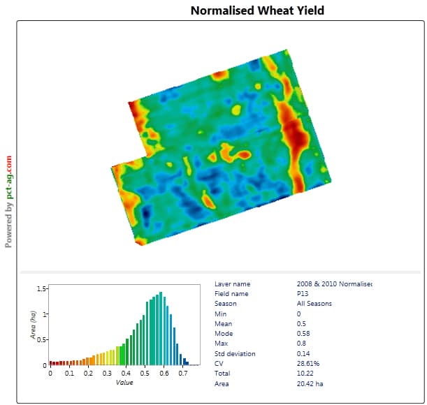
Your yield data is the final measure of your season’s work. By turning that data into yield maps, you gain a good picture of where your yield is coming from and the profitability of each piece of your land. This allows you to make data-informed decisions about how to manage your farm.
Find out how you can use your data to make informed decisions on our blog through the button below.
Yield Mapping & Data Insights
-
Expert advice to help collect and process yield data
-
Reports and insights for all yield maps processed - our experts will sort through all the data and deliver it in a meaningful way
-
Insights provided as to what the maps show as learnings for future years and adoption of precision ag technology
-
Get wet yield, dry yield and moisture maps processed & reported
-
Data all stored in one central system
-
Upto 1,000ha will be included, additional hectares will be charged at a per hectare rate.
Your local rep will be in touch to arrange a suitable time to meet on-farm or via Zoom.
Yield Mapping & Data Insights
-
Expert advice to help collect and process yield data
-
Reports and insights for all yield maps processed - our experts will sort through all the data and deliver it in a meaningful way
-
Insights provided as to what the maps show as learnings for future years and adoption of precision ag technology
-
Get wet yield, dry yield and moisture maps processed & reported
-
Data all stored in one central system
-
Up to 100ha will be included.
Your local rep will be in touch to arrange a suitable time to meet on-farm or via Zoom.
How it works
Many farmers have already paid for the tech and just need to learn how to utilise it. We recommend all farmers take the first step by utilising their technology this season to accurately record the first year of data on-farm.
Our team will collect and interpret your current and historical data, giving you better insight into your farm’s performance and potential. We’ll work with you to better utilise your yield data, turning insights into smarter, data-driven decisions for your farm’s future.
Why Vantage NZ?
Our approach
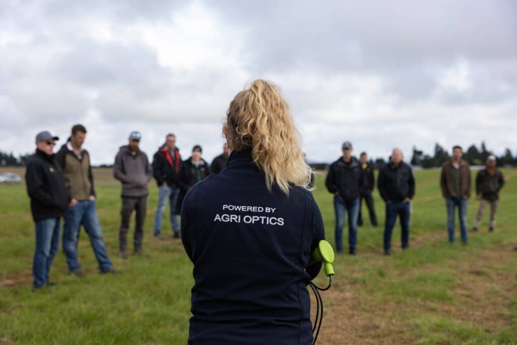
We focus on delivering genuine value to our customers across rural New Zealand. Our mission is to ensure you get the most value out of your farming technology, with the right advice to suit your business.
Local reps
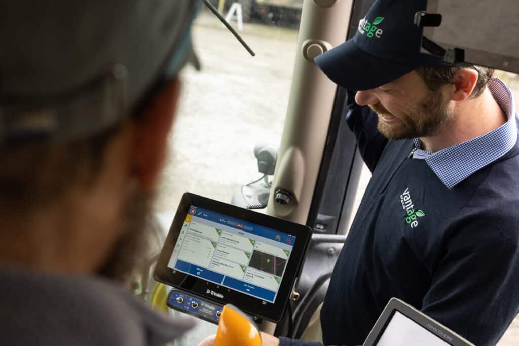
Our reps are located throughout the country, and are experienced in working with the unique challenges of each region and each piece of land. When you work with us, you’ll be assigned a local Precision Ag Specialist who will be there to help as and when you need it.
Support
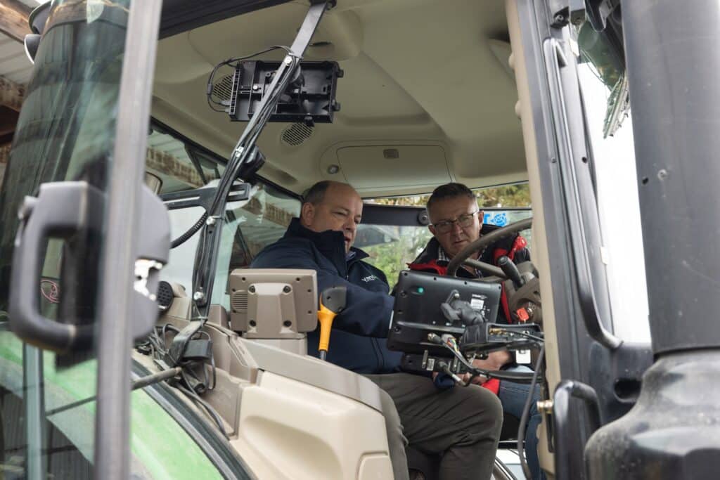
We give our customers continued support and advice on their Precision Ag solutions. We’ll work closely with you to ensure the technology helps you to save time, meet your sustainability goals, and benefit your bottom line.
Enquire about Yield Mapping & Data Insights
Submit the form below, and one of our local reps will get in touch to discuss your needs.
